RoadGuard
Complete road-network coverage, in the rating language you already use.
A PWD engineer responsible for a large road network has a small team and a few weeks a year to survey it. Sampling is the only option — and budget ends up following what got noticed, not necessarily what's actually worst. RoadGuard flies the corridor by drone and scores every stretch, so the condition data is complete, not sampled.
Fits the standard you already use
RoadGuard's output is scored against IRC:82-2015's own Pavement Condition Index — the same 0–100 scale and rating bands PWD engineers already use, delivered per-chainage, not raw GPS coordinates.
A real sample report
This is actual output from our reporting pipeline — generated from a synthetic test survey, not a mockup slide of what we'll eventually build. It's the same report structure a real survey produces: overall condition verdict, corridor condition map, segment-by-segment breakdown, and a ranked repair-prioritization list.
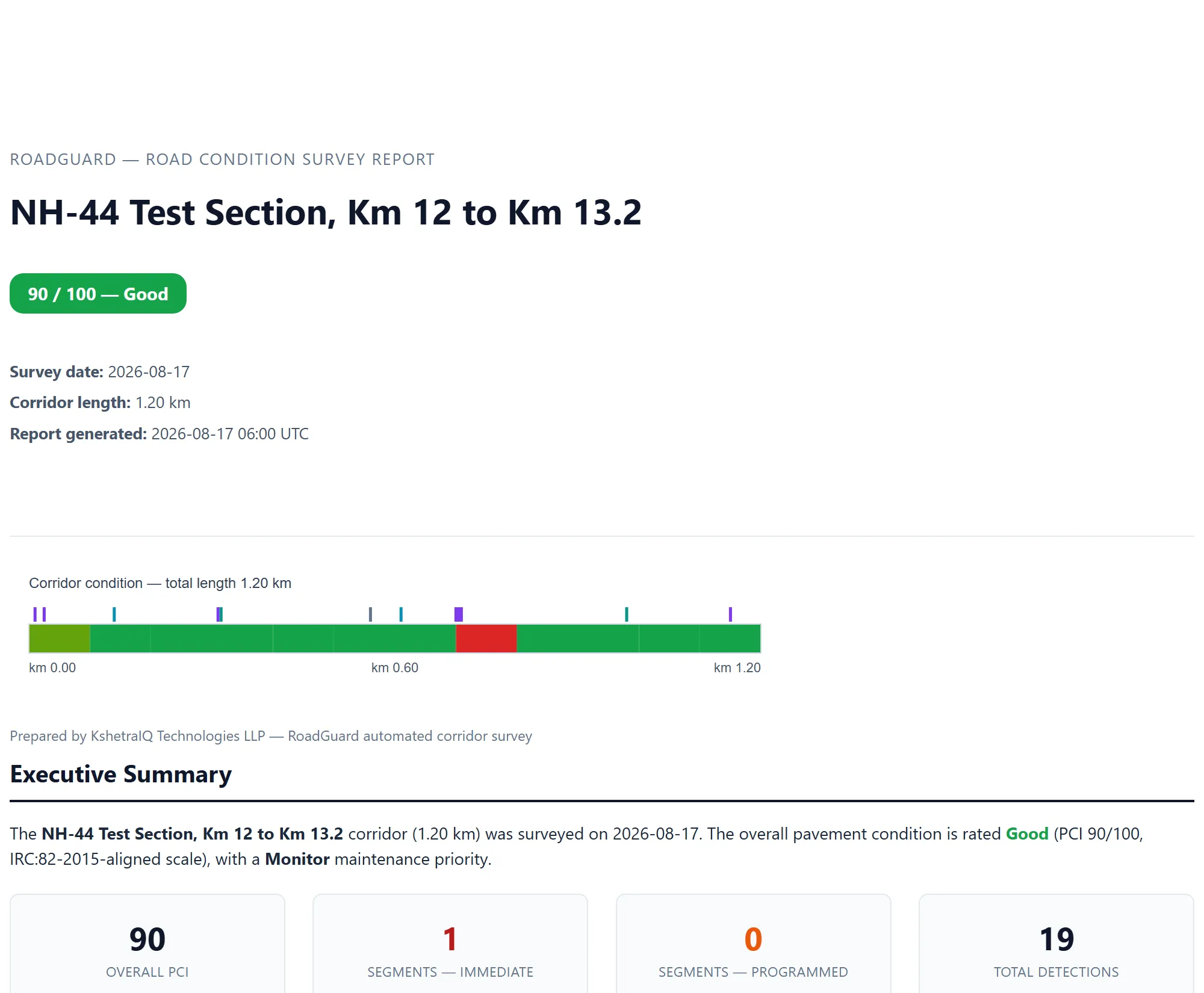
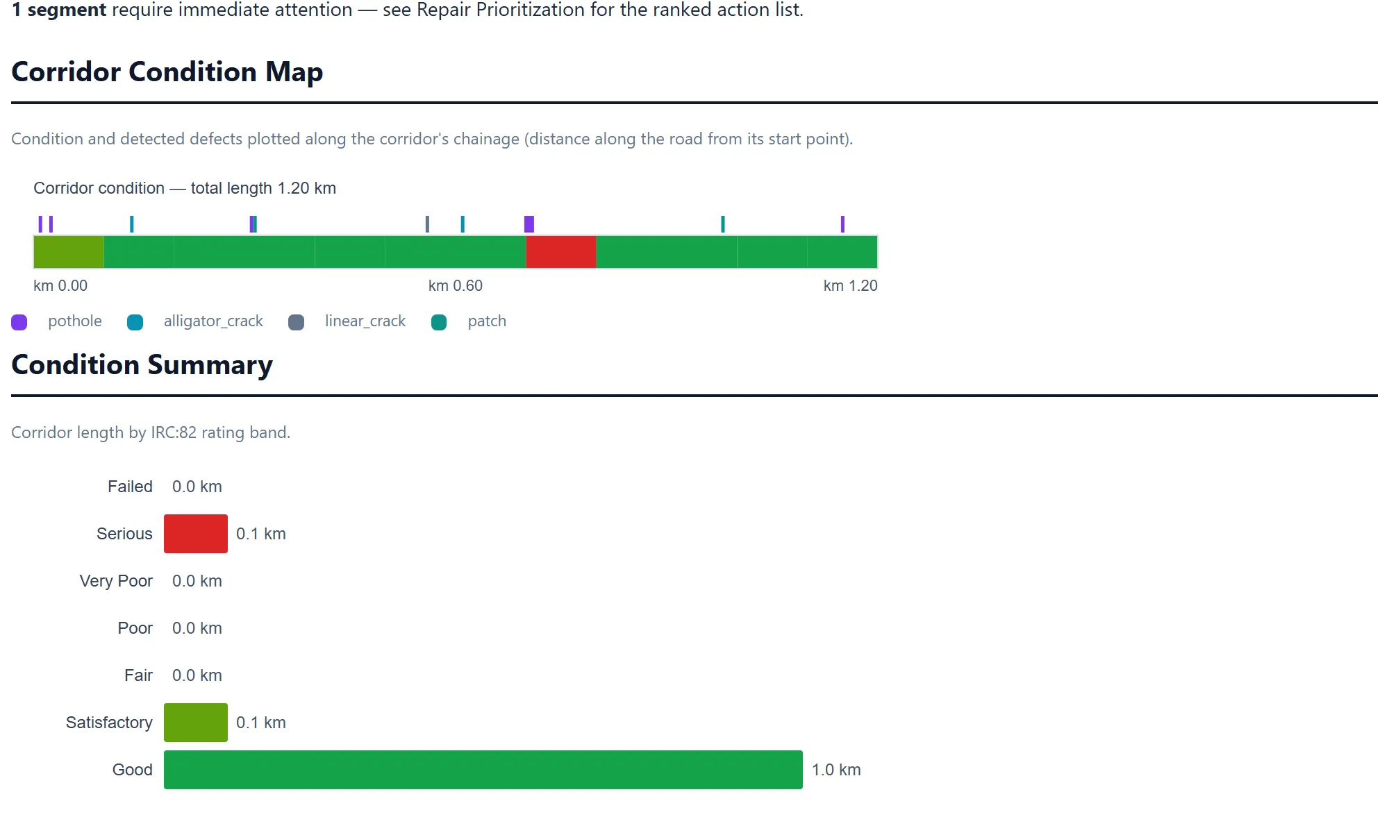
Sample generated from synthetic survey data, 2026-08-17. Real-data field validation is in progress.
Propose a pilot stretch
Let us survey a stretch of road you choose — a few kilometers, your call. We'll produce a full condition report, and you compare it directly against your own manual IRC:82 rating on the same stretch. This isn't a purchase decision, it's a real evaluation.
Propose a pilot